• Slow windless days – Sailing Marshalls to Solomons

    We’re nearly at the equator now and the sun is beating down on Confederate and her crew, setting off the azure shades in the deep blue. It’s magically calm and although the sun is pounding us into lethargy we still managed to rustle up a nice sushi lunch before getting back to books and listening to music. Slow days, drifting away.

    Coordinates – 00 deg 37′ N, 171 deg 43′E, Distance to destination – 835nm, speed 5 knots under motor.

    And here’s a picture of our lunch…

  • Sailing Marshall Islands to the Solomons – Part I

    The weather has calmed down a lot today so it’s easy for me to type. We were even able to make salad burritos for lunch, sadly no fish yet. I saw two mahi mahi flying towards our lure but they didn’t take the bait so we may have to do something about that.

    Here’s some exerts from the log so far.. as you can see variable conditions..

    Time – 20:00 10th July, Lat – 06 deg 45′N, Long 171 deg 03′E, Distance to go – 1202nm, Wind Nil, Motor at 4.6 knots.

    Time – 13:00 11th July, Lat – 5 deg 35′N, Long 171 deg 11′E, Distance to go – 1132nm, Wind SE(15knots), Sailing at 4.5 knots

    Time – 10:00 12th July, Lat – 4 deg 16′N, Long 171 deg 10′E, Distance to go – 1055nm, Wind W(20knots), Sailing at 5.8 knots.

    Time – NOW 15:00 13th July, Lat – 2 deg 16′N Long 171 deg 33′E, Distance to go – 934nm, Wind W(5knots), Sailing at 1.8 knots!!
    That’s why it’s easy for me to type out this email, but we’ve just turned on the motor as we’re excited for the country that awaits us over the horizon.

    The wind should be more consistent once we get south of the equator and into the South Easterly trade winds.

    We’ll send another update then!

  • Our impact on the Pacific and Micronesia – it’s not as far away as you think

    Being back on land and reflecting on close to a year cruising the pacific islands and Micronesia I realise how much I’ve gained from the experience – Fiji, Tonga, Tuvalu, Kiribati and the Marshall Islands. Before just names on a map, dots in a vast blue ocean. So what is different now?

    The reality of life in these places has been experienced. Ties have been made with people, faces aligned to a country, and an understanding of the land that they live on. My latest assignment for my development studies course is on development induced migration. You might think about the three gorges dam, or other high profile mass re-locations.  But there are countless stories like this on smaller scales around the pacific.

    Right now I’m thinking of what we’ve seen along the way, not necessarily experienced directly, but through the stories of people we’ve met…

    * Displacement from Bikini island for nuclear testing for “the good of mankind”

    * The impact of world war two on the Marshall islands and Kiribati.

    * Displacement from French nuclear testing in polynesia

    * Banaba island resettlement to Rabi island Fiji. And while we can say the above didn’t have a direct link to New Zealand – this last one did.

    Phosphate spraying in Northern NZ from 'Our sea of phosphate' by Katerina Teaiwa

    Phosphate spraying in Northern NZ from ‘Our sea of phosphate’ by Katerina Teaiwa

    For a low price the British Phosphate commission (BPC – including NZ and Aus) stripped Banaba of it’s phosphate by the ship load. Much of this was used in New Zealand for fertilizer turning hill country soil into arable and lucrative land. So we are connected to the people of Banaba as the phosphate from their island helped us increase agricultural fertility in the 50s and 60s. And we are connected to the people of Banaba in the sense that in gaining our fertile land, they lost theirs.

    This connection isn’t just true for people of the pacific. We are connected to people in China who make some of the products we consume, the factories that serve us derive their power from the three gorges. We also may even be connected to the people in Congo who work in Coltan mines so we can have phone batteries, and other electronics. We live in a world where we have no idea who makes our products. We don’t see who, or what environments are affected by our purchases.

  • Marshall Islands Kitesurf Report II

    Maloelap and Aur atolls have brought some of the best kiting of our trip. If you have a boat and you kite then you gotta go to the Marshalls. Seriously! From Dec-April winds blow consistently from the NE-NNE combined with sand banks scattered around the atoll and coral reefs full of life.

    In Maloelap we kited between Taroa and the island to the north. While skimming across the water we looked down on fish, stingrays, and the odd black tip reef shark. The transparent aqua shallows make you forget about attempting tricks and focus you in on the beauty of the spot. Leaning back and sliding over the glassy turquoise puts you in that space where every ounce of you feels lucky to be alive.

    Anchorage 1 – 08 deg 42.4 N, 171 deg 13.4 E (for Taroa island kite spot)

    Anchorage 2 – 08 deg 44.4 N, 171 deg 11.6 E (for kiting to the north of Taroa off Biget island where the Japanese power station is).

    Note that the Maloelap kite spots were better the further round to the N the wind came, whereas Aur seemed  to do better in Easterly winds. Maloelap wins for marine life and room to move!

    We can’t speak for the other atolls in the Marshalls but we know there would be plenty of gems to be discovered and hope to have the opportunity to return some day!

    Kiting Marshalls

  • Dingy mishap

    Ok so about the dingy. Depressing as it is, we have to share the story. A few nights ago we were having dinner on another boat. Robin had picked up James Bond our go-to local friend and brought him to meet Kathy and Dave, from the boat Lightspeed as they had just arrived in Aur.  After dropping James back to shore Robin returned to Lightspeed tying the dingy to the back of their boat as one always does when visiting others.  We had a great night with Kathy and Dave who have been cruising for a while and had some great stories to share.  At the end of the night we were saying our goodbyes, climbing up through the cockpit to the stern of the catarmaran, when all of a sudden I said to Robin “where are we?” – what I meant was ‘where is the dingy?’  Immediately I looked over to the other hull thinking that Robin had tied up to the other side, but alas our dingy had decided to go on a voyage without us.  Dave and Robin quickly got in their dingy, Kathy handing them flashlights and a VHF radio, and they rushed off into the dark to try to find our lost friend.  When I say our lost friend, I really mean it like that. When you’re on a boat your dingy is your way off the boat to shore. Without this crucial part of the team it makes getting ashore a teensy bit tricky.

    Sadly Dave and Robin returned around 20 minutes later without our friend, calculations showing that the dingy would have been outside the reef on the other side of the lagoon by the time they went looking. Dave dropped a very dejected Robin and myself home.  Robin was mortified with what had happened and was blaming his seamanship etc etc, but as I and many others have reassured him probably every sailor has some sort of ugly dingy story to relate, no reflection of his abilities.  We’ve tied up our dingy literally hundreds of times this year, and over a hundred times we’ve come back to our dingy, unfortunately this time it was not the case.

    Next morning (after a sleepless night for Robin) we got straight on the SSB radio and talked to people in Majuro who came up with some options of second hand dingys, and new dingys we can order from the states. Since it is New Year we decided not to go back to Majuro straight away but will head back there in a few days to try to sort it out.  It sounds like there are a few options for us, but it may mean a slight change to our upcoming itinerary.  It is just a wait and see game at the moment. Robin is feeling better now. Also he saved our kite board from imminent disaster last night. We were sleeping out in the cockpit again and a gust of wind knocked the board that was sitting on the forward deck off the side of the boat into the water. Within a few seconds Robin had woken up, put his hand over the side of the boat and retrieved the board that was floating past.

    And here’s some of the positives..

    • We have a paddle board and we’re still managing to get to shore without the dingy AND go kite surfing – Robin first paddles the gear in, then his fiancé. Haha. Good fun.
    • We’re in the marshall islands and it is super easy to order gear from the US.
    • We’re in the marshall islands fullstop! It really is amazing here – so much culture, history, beauty – so if misplacing our dingy means we will have to stay here a bit longer then we will do so very gladly.
    Paddling the kite gear ashore

    Paddling the kite gear ashore

    Robin with a slightly better system for getting the gear ashore

    Robin with a slightly better system for getting the gear ashore

    Yeah we're still in the Marshalls

    Yeah we’re still in the Marshalls

  • Kitesurfing in the Marshalls

    Happy New Year to everyone! We’re still sending these reports in from our Satellite phone, as civilization is a world/a day’s sail away.  It was a pretty quiet night here – a bottle of wine and a night under the stars, sleeping out in the cockpit of Confederate. We watched the sun set on 2013, as well as see it show it’s face again for the first time in 2014 (through the coconut trees).  The decision was made to stay on Aur atoll which meant no raging parties but the opportunity to bring in the new year with a couple of amazing kite surfing sessions on the 1st and 2nd.  An epic way to start 2 0 1 4.

    It’s been a while since we’ve felt the trade winds rush across our faces – After leaving Fiji in October we headed north to Tuvalu and Kiribati, both too close to the equator to get consistent breezes. However we’re now at 8 degrees north and at this time of the year the Nor easterly trade winds are really going for it – setting the scene for a kite surfing paradise.  Not to mention, we’re in one of the atoll capitals of the world. The Republic of the Marshall Islands is made up of 29 atolls containing 1225 islands.

    For those interested in the geology an atoll forms when an underwater volcano shoots land to the oceans surface and a coral reef starts to develop closely around the volcano. Gradually (over millions of years) the volcanic island sinks back to the ocean leaving behind a lagoon of water surrounded by a barrier coral reef with low lying islands along the fringe.  This lagoon becomes a great spot for boats to anchor, tucked in behind the islands. When I say boats, I’m talking about us and the other 9 boats that have come to Aur in the last year  – we discussed this tally with some of our local friends.  Actually, because this is one of the closest atolls to the capital of Majuro it probably gets the most boat traffic. However of course this is a far cry from Fiji, where you might see 10 boats per night in a Yasawa islands anchorage.

    Our coordinates are 8 deg 09.4 N 171 deg 10.0 E – just in case you’re one of the 10 boats heading in this direction in 2014 and happen to have kiting gear on board.  We’re anchored super close to where we set up the kite, primarily because our dingy went walkabouts the other night and we’re now using a paddle board to get ashore (an elaboration to come in the next blog :-)) Mid tide is best – enjoy! We hope this is the first of many kite surforages (kite surf anchorages) in the Marshall islands. Whoop.

    IMG_1736 IMG_1770 IMG_1785 IMG_1789 IMG_1887 IMG_1888


  • Christmas day Aur atoll

    Arriving in Aur on the 24th of December we didn’t expect to be able to organize much for Christmas day. But thanks to the lovely people on Aur island we were quickly made honorary members of their community just in time for the celebrations to begin.

    Aur atoll is around 80 miles north of the capital of Majuro, and feels like a different world. With only 300 people living on the atoll everyone knows everyone, and Christmas is not an individual family celebration but a huge gathering. Apparently dance practices began in early November and every night the Marshallese diligently practice their routine.

    The 25th Dec festivities started around 11am with a church service. The juxtaposition of the American/Marshall islands influence was shown by the decorations in the church. Woven mats and hand-made miniature outrigger canoes lined the front wall, whilst hanging from the ceiling were American $1 and $10 notes. The minister even wore a necklace made from American notes – we’re unsure if this was just for Christmas but was an interesting touch all the same. After the church service chairs were moved to the side of the room, and the anticipation seemed to grow. It seemed that the dancing was about to start.

    It is hard to describe the style of dancing, however basically the theme for all the groups was there was one leader with a whistle acting as a conductor, and two lines of people that started outside the church and moved in and out chanting in Marshallese and moving to the beat. It was unlike anything we had seen before. Each group performed about 5 songs -
    sweat pouring off the enthusiastic dancers, and the laughter of onlookers echoing against the church walls. The best had to be the two Sunday school groups with some adorable under 5 year olds not quite managing to keep the beat, but all the same having a grand ole time. A scene from the dancing is shown below with female onlookers in their brightly coloured mumus (traditional dress).

    At the end of each dance the group put out a basket for donations, and in return the crowd received a lolly scramble and food handouts from the dance group (we accepted a couple of packets of noodles but didn’t dare fight the kids for their prized lollies – it was vicious! The lady who was distributing the noodles decided to grab Robin for a dance and proceeded to get very friendly, pursing her lips and lining him up for a smooch – photo to come once we have good internet. All of a sudden her husband had pulled me up and we were learning how they roll in the Marshalls.

    After this slightly traumatic dancing experience we were ushered into a room outside the church that housed our Christmas day banquet feast. A huge flax woven basket filled with turkey, ham, pork, sausages, breadfruit, rice, taro, bananas, and various other goods was placed in front of us. To drink was a soft drink and a coconut (the outer islands of the marshalls are alcohol free). Some of the ladies who seem to know how to have a good time were picking up sausages, putting them in their mouths, and then approaching their male counterparts dangling the sausage in front of them. It didn’t seem to necessarily be their husbands, and we found this quite entertaining for what we thought was a conservative culture? Below is a photo of the banquet room and the group that performed through lunch.

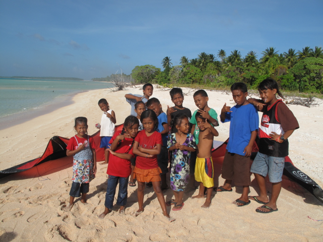
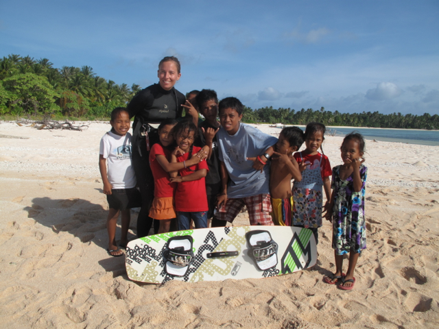
    We thought we might head back to the boat for a few hours of food coma but our host family had other ideas. We were told to wait for the next dance group that would be starting in 10 minutes. In true island time an hour and a half later we were still waiting, by then having been adopted by a group of 20 kids endeavoring to teach us Marshallese. Getting the correct pronunciation was not easy with three young girls screaming the words in your ear. All the same a great bunch of kids.

    After we watched another round of dancing it was about 5pm and we wanted to get back to Confederate before dark, so we snuck out of the church while the third lolly scramble of the day was underway and all the kids were viciously preoccupied.

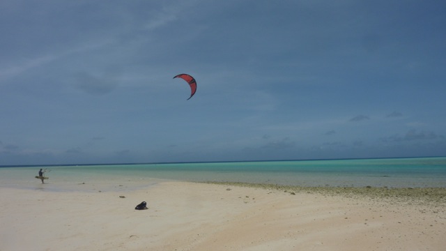
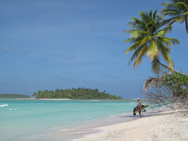
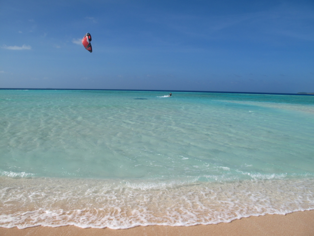
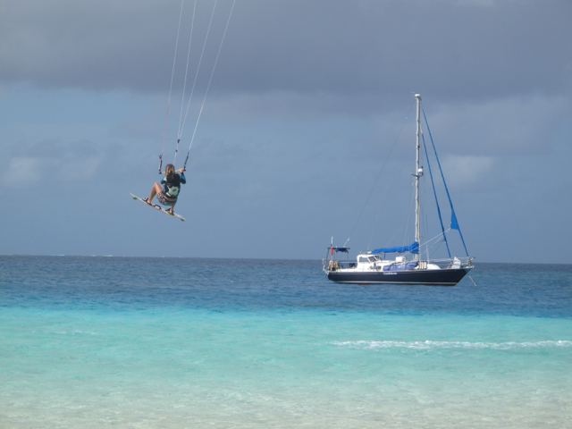
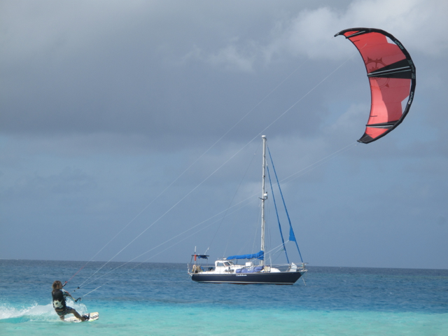
    While no one ever wants to be away from home for Christmas we really feel lucky to have been adopted by this community. It was a really unique and vivid experience. ! We were even given hand woven earrings and a dolphin wall hanging – photos to come in another blog. Merry Christmas and Happy New Year to all!! Another update tomorrow on our post Chrissy day kite surf. Yeeeaaahhh.

  • Wreck snorkeling Marshall Islands

    After 5 days around Majuro sorting out a few things, and dropping off our crew (yeaah ha, has been a long two months, enough said) we headed straight out to some of the smaller islands of the main atoll. We snorkeled at Enemonit and Eneko, two very nice anchorages on the northern side of the lagoon. Enemonit had some really cool submerged wrecks and Eneko had some incredible coral and fish life. Nice to see another healthy reef, and so close to the capital of Majuro. As a bonus the very friendly marshall islands yacht club have free moorings at both spots.

    We also had a lovely catch up with a boat Ca Va who had spent time with mutual friends in Tonga. What a nice couple! Robin is positive we will have a homebrew kit someday on Confederate after sampling Jody and Bruce’s dark beer… Hmm I wonder where we’ll put it.

    Anyways we’re about to check weather and if all is good to go we’re making an overnight passage to Aur atoll. We’re really looking forward to getting out into the remote areas of the Marshalls. Looks like we might be able to do some kiting at Aur island, crossing fingers as it’s been way too long!

    For now here’s a few shots of us snorkeling on a submerged plane and helicopter in Enemonit.

  • Arrival in the Marshall Islands

    After a really hard passage ranging from 0 knots to 40 knot squalls we arrived in Marshall islands and are enjoying …

    a) Land and walking!

    b) the boating community here

    c) supermarkets! sounds silly but it’s nice having a few grocery stores after a while without!

    We’re looking forward to exploring the outer islands and checking out the kite surfing which is supposed to be incredible.  After our trip up and the winds we experienced it seems like this may be so! Also looking forward to trying to get in a dive on some of the world war 2 wrecks. Ye ha. More updates to come and some passage reports to come from Robin.