-
Solomons first impressions…
-
Sailing – Marshall Islands to Solomons – A summary
Lows
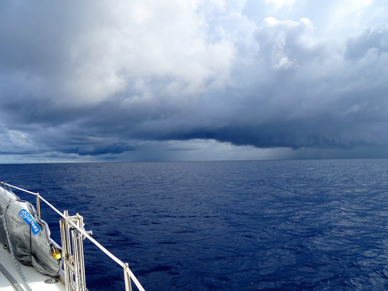
- Passing through two convergence zones – the ITCZ and the SPCZ meaning constant black clouds on the horizon, reefing sails, and then waiting for the 30-35 knot squalls to hit. Most of these passed within half an hour but the constant reefing of sails was tiring, and it meant we had to sail conservatively at night. We made only 100nm per day while on average in the trades Confederate prefers 120nm/day.
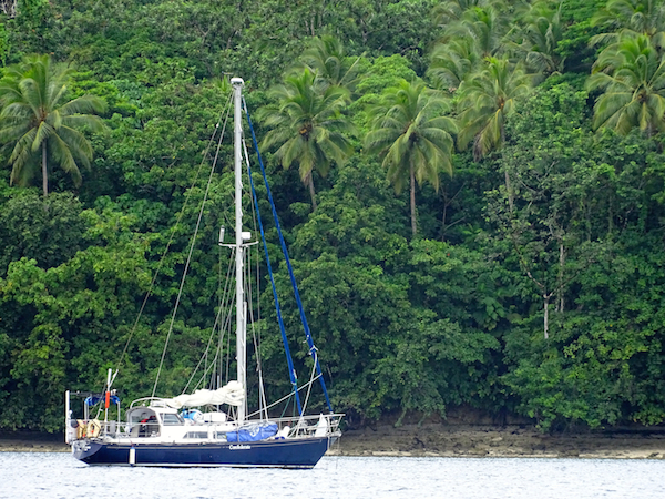
- 12 days of constant movement makes it oh so nice to be still again.
- We were tacking away from our galley the whole trip which made cooking near on impossible. In rougher weather we made do with potatoes for dinner just because it was easy.
Highs
- Crossing the equator for the second time with stars sprinkled above us. Pulling the bimini roof off the cockpit so we could spot shooting stars as we passed the invisible 0 degree longitude line and threw some wine to Neptune.
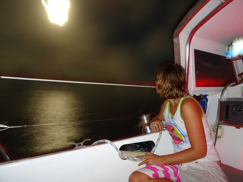
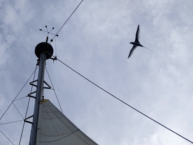
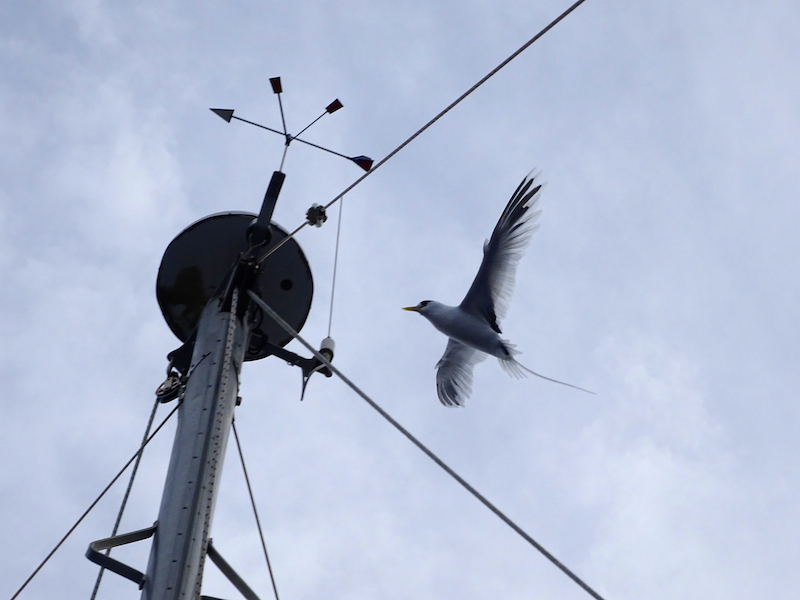
- About an hour after crossing the equator we were welcomed into the southern hemisphere by a large pod of dolphins illuminated under the moonlight. A magical feeling crept from the bow to the stern of confederate as the dolphins literally danced around the boat for about an hour. Incredible. Our only other visitors were the occasional bird trying to land on our mast.
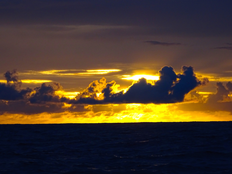
- Moon rises which can only be described as a fire alight on the horizon and could compete with the best sunsets of the passage..
- 2 days of light winds north of the equator – even though we were motoring the sea was like a lake and the conditions extremely comfortable for an ocean passage.
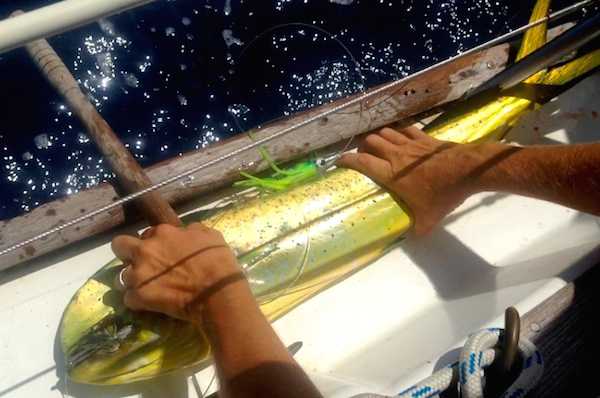
- Fish! Our first Mahi Mahi since we left the Marshalls in Feb!
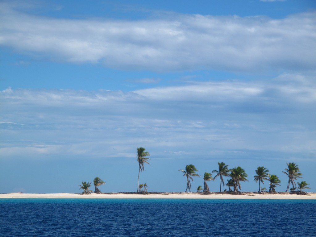
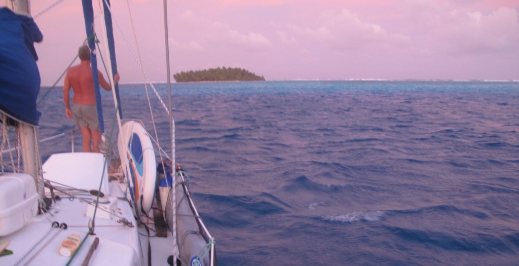
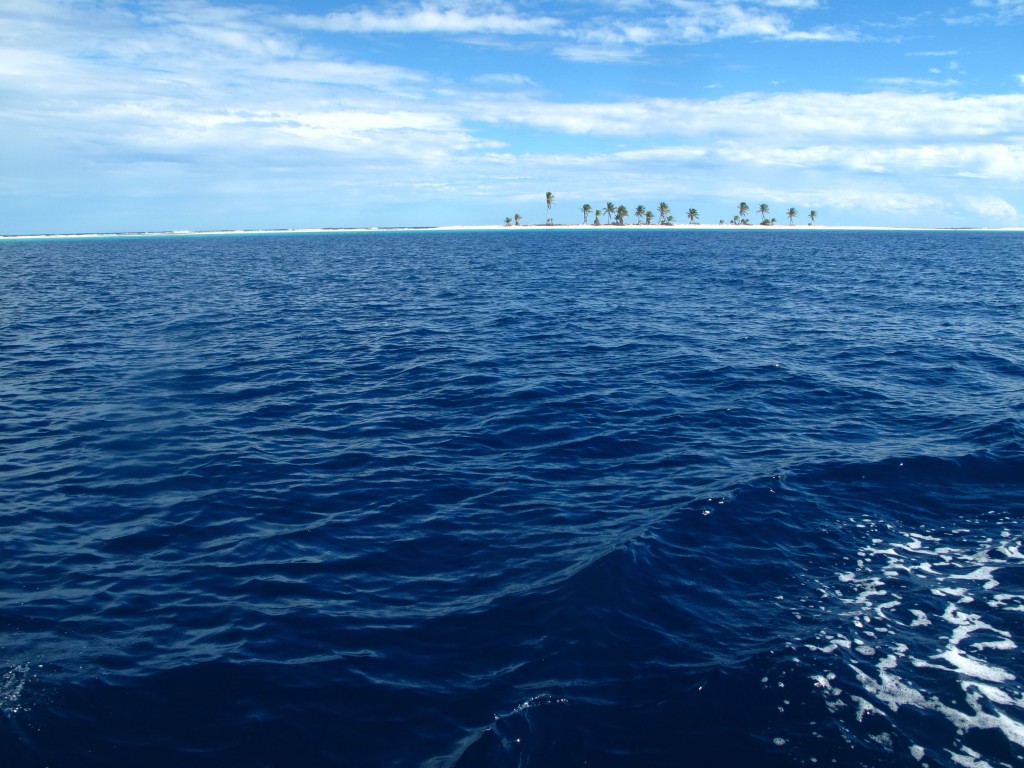
- Seeing one of the cone shaped duff islands, our first glimpse of land in 12 days. Always good to know that the GPS is doing it’s thing. And then a day later pulling into the Graciosa Bay and getting our first glimpse of life in the Solomons..
- Arriving in Lata to friendly people and surprisingly friendly officials. Ye ha we made it!
- Passing through two convergence zones – the ITCZ and the SPCZ meaning constant black clouds on the horizon, reefing sails, and then waiting for the 30-35 knot squalls to hit. Most of these passed within half an hour but the constant reefing of sails was tiring, and it meant we had to sail conservatively at night. We made only 100nm per day while on average in the trades Confederate prefers 120nm/day.
-
Sailing Marshalls to Solomons Part II
Some more of our coordinates for boats intending to do the trip….
Time – 0700 15th July, Lat – 00 deg 30’S, Long 171 deg 38’E, Distance to go – 765nm, Wind SE(5knots), Sea 0.5m, Sailing at 4.6 knots.
Time – 0000 16th July, Lat – 01 deg 47’S, Long 171 deg 18’E, Distance to go – 686nm, Wind SE(15knots), Sea 1.0m, Sailing 5 knots.
Time – 1830 17th July, Lat – 03 deg 08’S, Long 170 deg 45’E, Distance to go – 599nm, Wind SSE(20knots), Sea 2.0m, Sailing 4.8 knots.
Time – 1430 18th July, Lat – 04 deg 29’S , Long 170 deg 30’E, Distance to go – 519nm, Wind SE(25knots), Sea 3.0m, Sailing 4.6 knots.
Time – 1530 19th July, Lat – 06 deg 07’S, Long 169 deg 51’E, Distance to go – 413nm, Wind SE(15knots), Sea 2.5m, Sailing 5 knots.
Time – 1830 20th July, Lat – 07 deg 53’S, Long 169 deg 04’E, Distance to go – 260nm, Wind SE(10knots), Sea 1.0m, Sailing 5.5 knots
Time – 1805 21st July, Lat – 09 deg 07’S, Long 167 deg 39’E, Distance to go – 148nm, Wind SE(10knots), Sea 0.5m, Sailing 5.0 knots.
A note on our course…
We stayed east for as long as possible but then we came changed course to the west once the trades picked up. This made for a more relaxed end to the trip. We set our course for about 8 nm to the west of the most northern of the Duff islands, then sailed east of the Reef islands and into Graciosa Bay on the morning of the 22nd of July. We anchored at Shaw Point opposite Lata in about 30m, good holding. We saw one other boat the whole trip near Kiribati, but a few others popped up on the AIS.
-
Land ho Solomons!
After 12 days at sea we are now anchored in the Solomon Islands!!Ye ha -
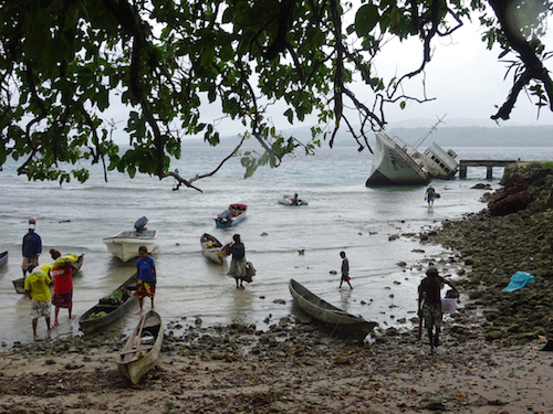
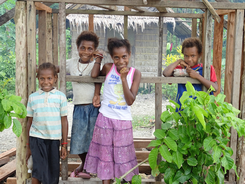
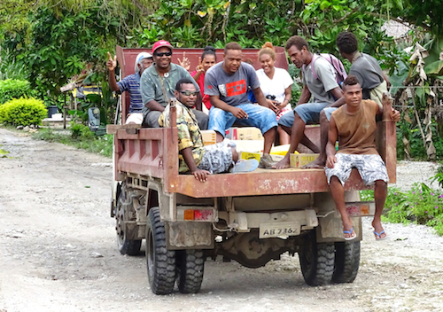
Feels so goood!! It was 8am yesterday morning that we made landfall. We anchored just across the bay from Lata (where you can informally check into the Solomon Islands). It took about 10 minutes in the dingy to get from our anchorage into Lata. We were a bit intimidated to go ashore at first – there were about 100 people around the wharf as well as the fact this was a new country of many unknowns. However our doubts were definitely unfounded. As soon as we got ashore people were helping us with the dingy and introducing themselves if they could speak English. We met Andrew who is from the Reef islands and already knew of the Oceanswatch team. We walked through town and were quickly befriended by a guy called Paul who showed us to the police station and quarantine officer. A very affable guy and extremely nice of him to spend his afternoon showing us around town – although he has just paddled out to visit us this morning to trade vegies for tshirts and sell some carvings so there may have been a few ulterior motives there
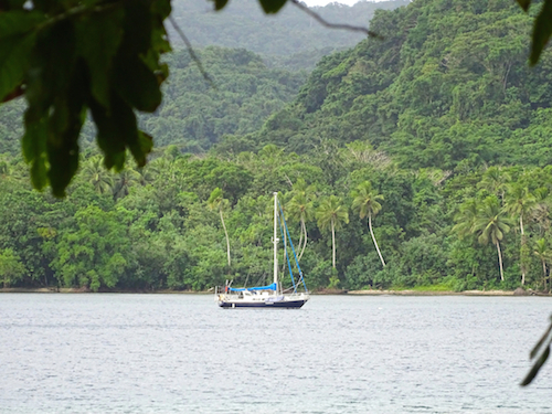
We met Luke the quarantine officer and he told us he needed to come aboard Confederate so we all jumped in the dingy and made our way back over to the other side of the bay where Confederate is perched with a backdrop of lush forest and a small village. We had some tea and biscuits, filled out a few forms and then got our first lesson in pidgen English. Pidgen is spoken in Vanuatu, Solomons and PNG, although different versions in each place, it is our first encounter with the strange language. We learned how to say what country are you from = wen em place b’long u? There’s no sun = em sun no good, when talking about someone else = that fella man or that fella girl and how are you = you how? Disclaimer – Ok so some of these may not be 100% accurate in terms of spelling and wording but you get the gist. Luke let out a deep bellied laugh as Robin and I practiced.
We dropped Luke back into town, grabbed some of the local beer ‘Solbrew’ and some things from the market (including fish and chips!) and then came back to the boat exhausted but thrilled at the same time. We settled into an abnormally still Confederate, after 12 days of ocean swell, and lapped up our fish n chips, solbrew and movie. It’s amazing how such simple things can become the most delightful treat after being on passage, or in any sort of hardship for that matter. Luxury is definitely relative.
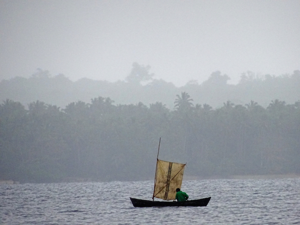
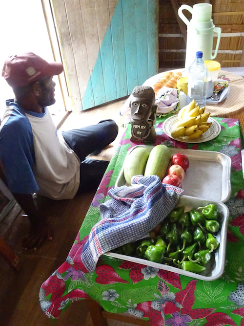
We slept for a glorious 12 hours and woke to a visit from Paul who brought eggplants, sweet potato, some weird shaped oversized beans, and coconuts. Then Charles appeared – he wanted a CD in return for coconuts, limes, and grapefruit. We get the impression that the market will come to us here in the solomons. When we offered money for the vegies a look of disappointment came over Charles’ face, he wasn’t interested in money but only the things that he couldn’t buy here in Lata. Both visitors paddled across the bay from Lata (a distance of 1.7nm) in their dugout canoes, in the pouring rain, to trade. There are many people out in the harbour fishing in the unsteady looking canoes, some with small sails – an impressive site
Photos will follow when we get some internet in the next couple of days. For now this post comes direct to you via satellite phone from the graciosa bay, solomons.
Love from Confederate
-
Slow windless days – Sailing Marshalls to Solomons
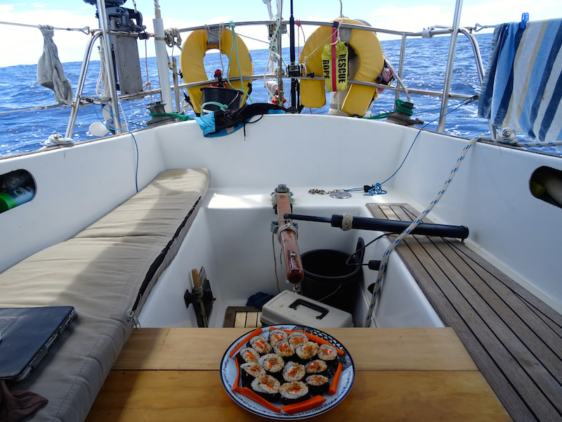
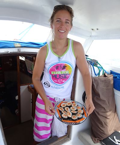
We’re nearly at the equator now and the sun is beating down on Confederate and her crew, setting off the azure shades in the deep blue. It’s magically calm and although the sun is pounding us into lethargy we still managed to rustle up a nice sushi lunch before getting back to books and listening to music. Slow days, drifting away.
Coordinates – 00 deg 37′ N, 171 deg 43′E, Distance to destination – 835nm, speed 5 knots under motor.
And here’s a picture of our lunch…
-
Sailing Marshall Islands to the Solomons – Part I
The weather has calmed down a lot today so it’s easy for me to type. We were even able to make salad burritos for lunch, sadly no fish yet. I saw two mahi mahi flying towards our lure but they didn’t take the bait so we may have to do something about that.
Here’s some exerts from the log so far.. as you can see variable conditions..
Time – 20:00 10th July, Lat – 06 deg 45′N, Long 171 deg 03′E, Distance to go – 1202nm, Wind Nil, Motor at 4.6 knots.
Time – 13:00 11th July, Lat – 5 deg 35′N, Long 171 deg 11′E, Distance to go – 1132nm, Wind SE(15knots), Sailing at 4.5 knots
Time – 10:00 12th July, Lat – 4 deg 16′N, Long 171 deg 10′E, Distance to go – 1055nm, Wind W(20knots), Sailing at 5.8 knots.
Time – NOW 15:00 13th July, Lat – 2 deg 16′N Long 171 deg 33′E, Distance to go – 934nm, Wind W(5knots), Sailing at 1.8 knots!!
That’s why it’s easy for me to type out this email, but we’ve just turned on the motor as we’re excited for the country that awaits us over the horizon.The wind should be more consistent once we get south of the equator and into the South Easterly trade winds.
We’ll send another update then!
-
Marshall Islands Recap
Well, Confederate is nearly ready for her next adventure – bring it on Solomon Islands! But before we leave this is a good opportunity to recap on the highs and the lows of our 3 months here in the Marshalls, most of the time spent in the outer atolls of Aur and Maloelap.
The Highs
* The outer islands of the Marshalls are spectacular, serene, perfect atolls just made for exploring
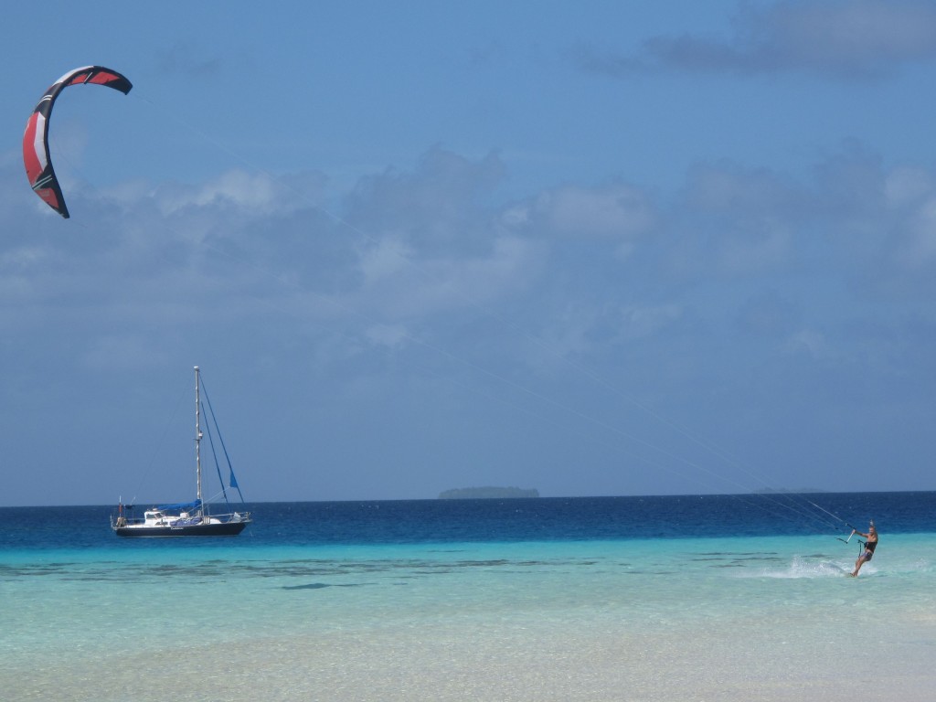
*Kiting – We’ve had so many good days on the water in Aur and Maloelap with abudant sea life passing under the board – sharks, stingrays, fish of all colours.
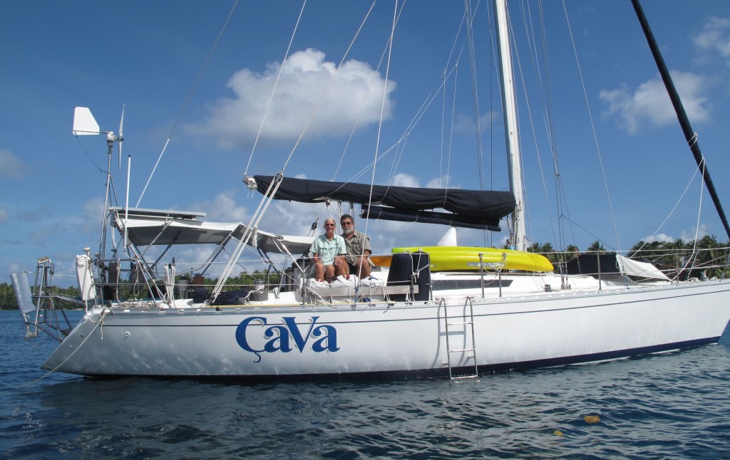
* The crusing community – there are a whole lot of boats up these ways and while most stay around Majuro they’re all super friendly and we’ve met some great people. Especially these guys on Cava!
* Marshalese people are super welcoming with a nice aura.
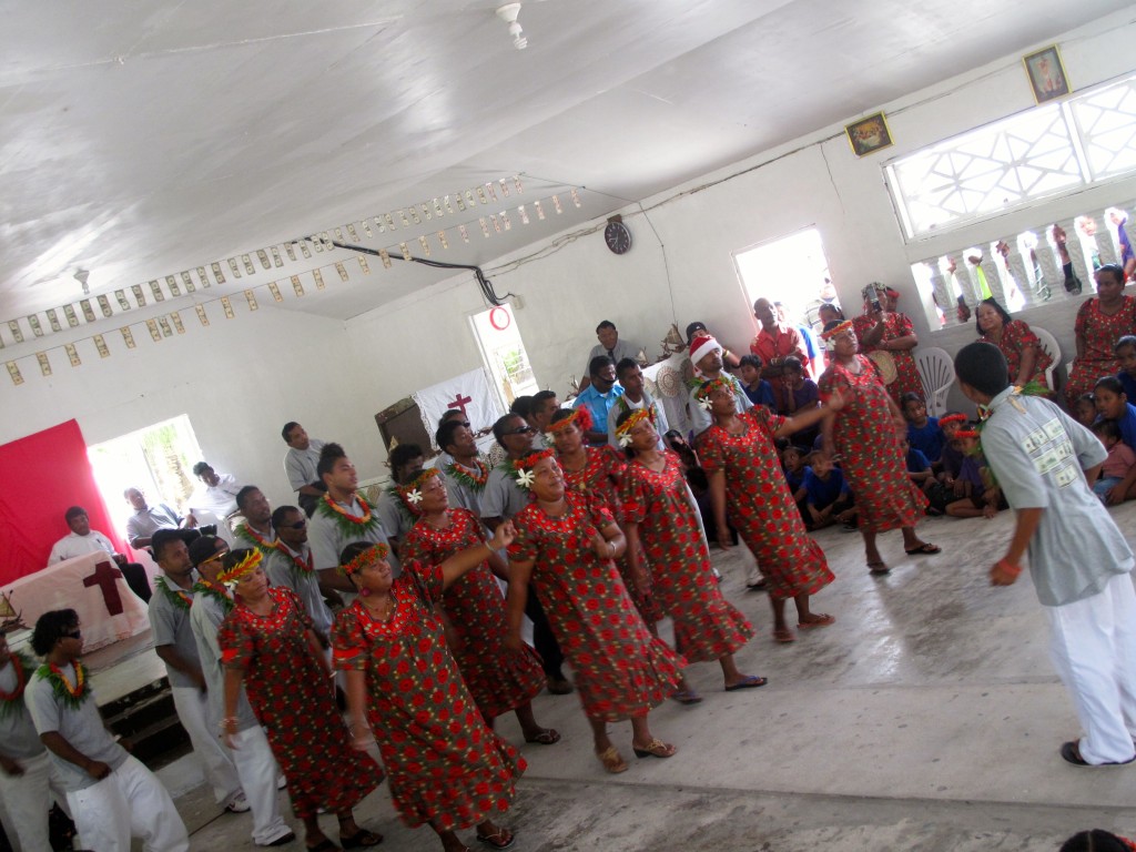
*Christmas day celebrations on Aur atoll were truely unforgettable.
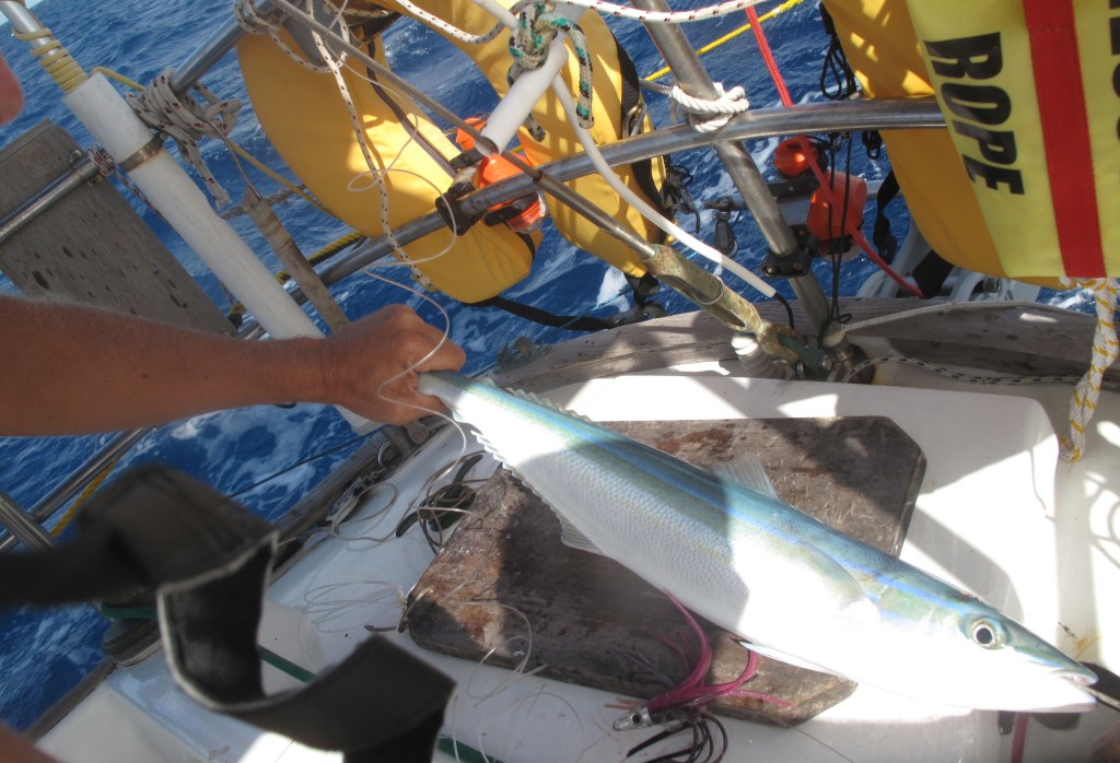
* Fishing – the best we’ve had so far in any country, both inside and outside the lagoons. Rainbow runners were common within the lagoons as well as mackeral. Outside the lagoon we caught mahi-mahi, wahoo, and tuna.
The Lows
* Losing our dingy while on another boat for dinner (not stolen, it was our bad)
* Confederate being broken into while we were away (although on a more positive note arriving back and realising nothing had been taken except some alcohol!)
* Majuro isn’t our favourite hub and we have tried to steer clear of it, however it is a nice place if you want to be social and have the convenience of shops, supermarkets etc.
* The range of fresh vegies and fruit haven’t been quite the same as in the south pacific. Unfortunately the atolls are somewhat limited in terms of land area for agriculture and arable soils.
The lows are miniscule compared to the highs and we’d totally recommend the route that we’ve taken. Overall we’ve loved the experience and we’d definitely love to come back for another kite surfing season in the Marshalls, but for now, while the trade winds have disappeared in the north pacific we’re excited to head to the Solomons. We’re stoked with our decision to head north of the equator for the cyclone season experiencing Tuvalu, Kiribati and the Marshalls – countries we would have never dreamed of visiting prior to owning Confederate. Next update will be via satellite phone on our passage to the Solomons. We’re heading to Lata in the eastern Santa Cruz islands to track down Oceanswatch. So excited to be getting back out on the big blue!



Recent Comments